OSR Geographic Information Services - GIS
GIS Services refer to the range of services provided by Geographic Information Systems (GIS) professionals. GIS is a technology that helps in capturing, managing, analyzing, and visualizing data related to geographic locations.
These services include data collection, data analysis, data visualization, and map creation. GIS professionals use specialized software and tools to create and maintain databases, generate maps, and perform spatial analysis.
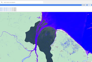
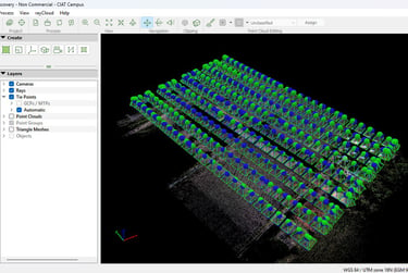
They work with various types of data such as satellite imagery, aerial photographs, and survey data to provide valuable insights and solutions for different industries such as urban planning, environmental management, and disaster response. GIS services play a crucial role in decision-making processes, as they enable organizations to better understand spatial patterns, make informed decisions, and optimize resource allocation.


